Ask ten offshore fishermen where they caught their best fish and most of them will describe the same thing without knowing it: an edge. A line in the water where green turned to blue, where the temperature ticked up, where the bait suddenly showed on the sounder and the birds got busy. Chlorophyll is the layer that shows you those edges before you burn a drop of fuel looking for them.
What the colors actually mean
Chlorophyll maps measure phytoplankton — microscopic plants that color the water green wherever nutrients push toward the surface. That green is the bottom of the entire food chain. Zooplankton graze the phytoplankton, baitfish eat the zooplankton, and everything you actually want to catch eats the bait.
So the green isn't where you fish. The green is the pantry. Predators — tuna, mahi, wahoo, billfish — live in the clean blue water where they can see, and they feed along the boundary where the pantry ends.
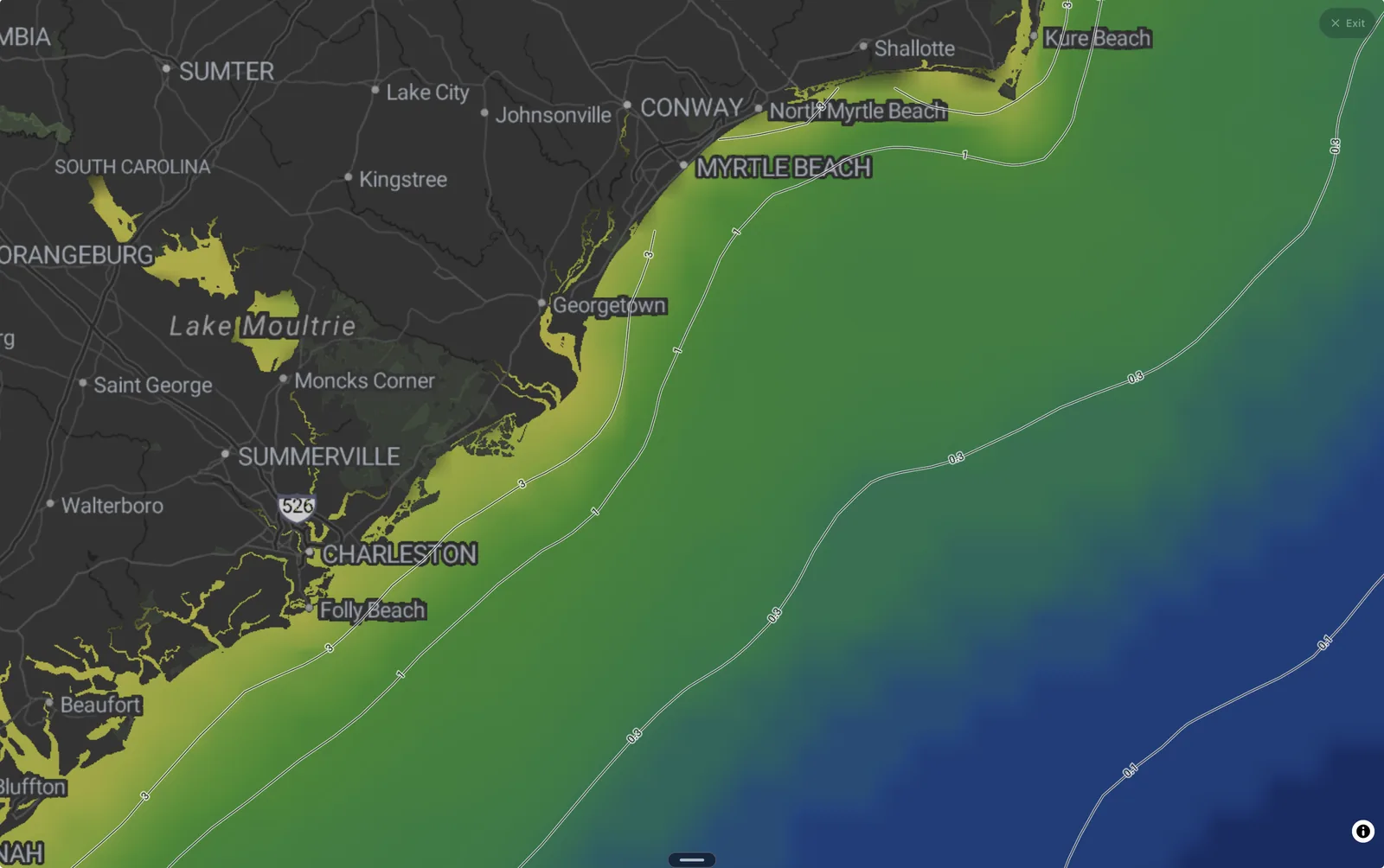
That's the whole trick: don't look for a color, look for a change in color. Off the Carolinas the classic version runs for hundreds of miles — green shelf water inside, the deep blue western wall of the Gulf Stream outside. The tighter and sharper that gradient, the harder it concentrates bait, and the more it fishes like a wall instead of a suggestion.
What to look for
- Edge: a hard green-to-blue break, the tighter the better
- Gradient: contour lines stacked close together — a front, not a fade
- Overlap: a chlorophyll edge that lines up with a temperature break
When two edges stack — color change plus a couple of degrees of sea-surface temperature — you've found a front worth planning a day around. In Fetch, flip between the Chlorophyll and Sea Temp layers on the map and look for the places where the lines agree.
Fishing the edge, not the middle
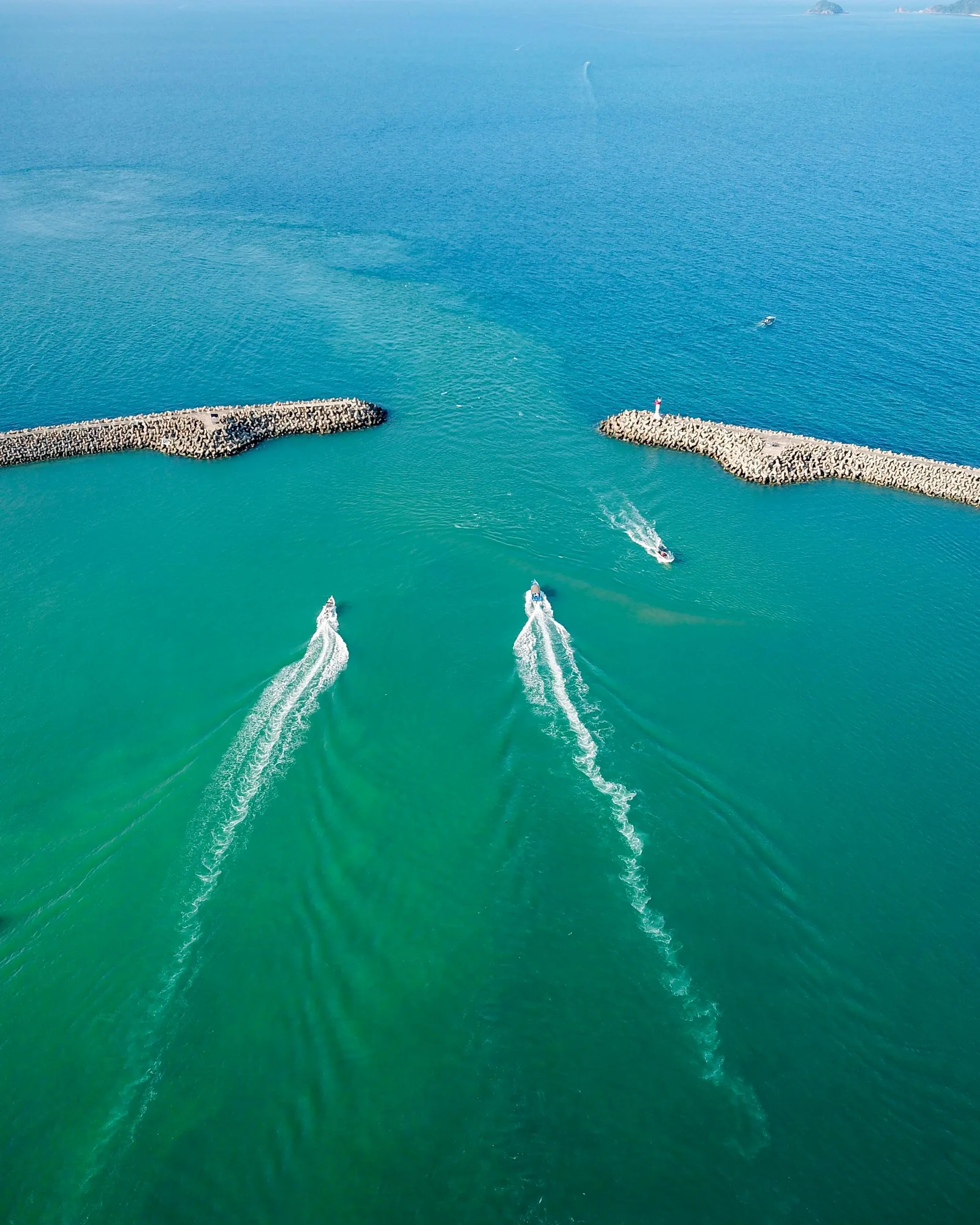
On the water, a good edge usually announces itself: scattered weed lines, a visible seam in the surface texture, water that goes from murky green to cobalt in a boat length, birds working a defined lane instead of wandering. Troll the blue side of the line and work back and forth across it. Bait holds on the green side; the fish that eat the bait patrol the clean side, using the murk like a wall to pin their prey against.
The satellite pass is a snapshot, not a promise — edges drift and clouds can leave gaps in the data. Check the layer the day before, note where the boundary sits relative to a landmark or a waypoint, and expect to find the real thing within a few miles of where the map drew it.
The same rule, from the beach
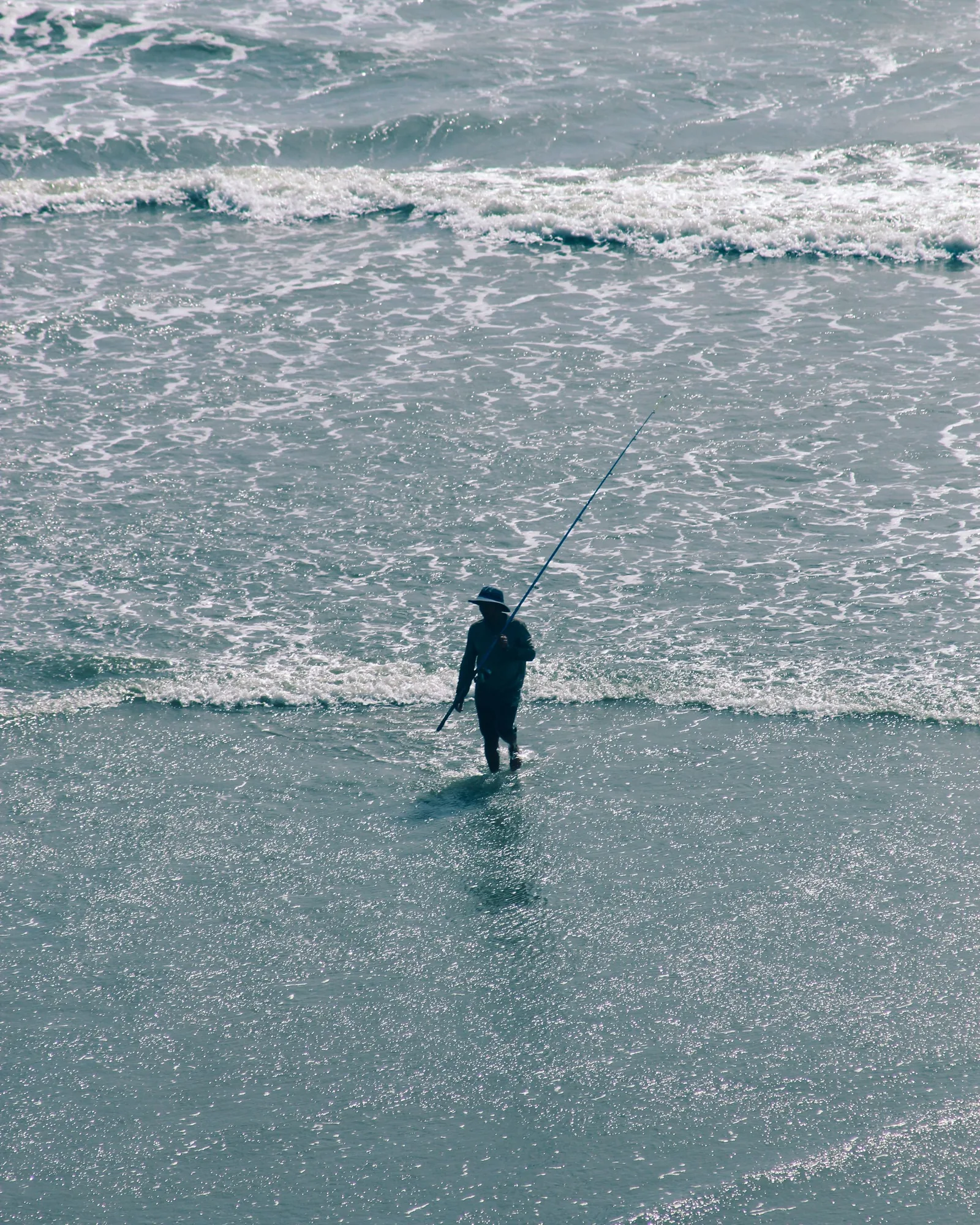
You don't need a boat for any of this. Inshore fishing runs on the exact same principle at walking scale: a mud line where a creek dumps into clean surf, the stained seam off a jetty tip on an outgoing tide, the line where churned-up wash settles into green water. Bait stacks on the dirty side; redfish, snook, stripers, and everything else hunt the clean side of the seam.
Next time you're checking the surf or the wind in Fetch, take ten extra seconds on the map. Turn on the chlorophyll layer, find the nearest hard edge, and ask what's pinned against it. That's not a picture of the ocean's color — it's a picture of where the food is, and the fish already know it.
The chlorophyll and sea temperature layers are live on the Fetch map.