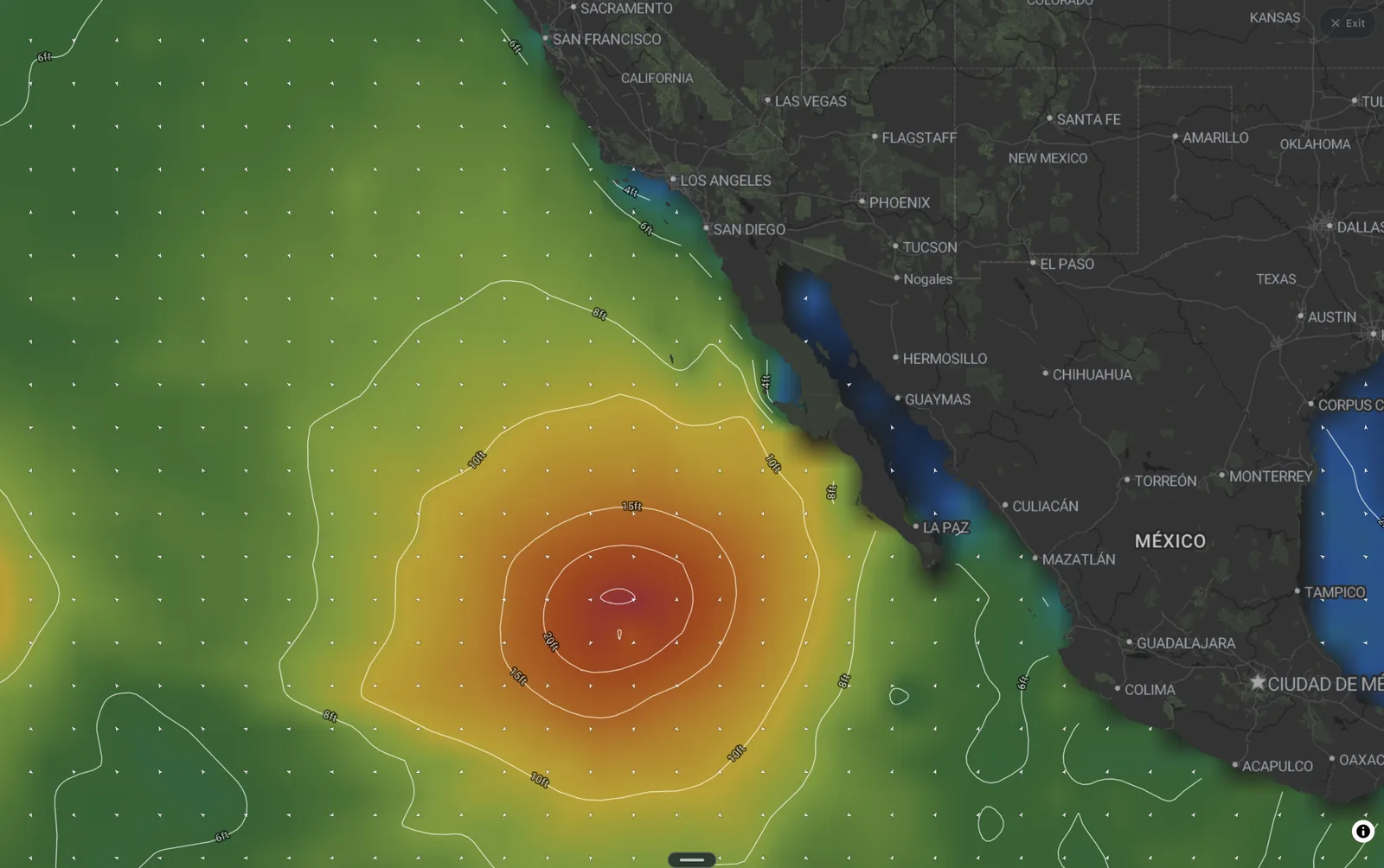
Forecast numbers sourced from Fetch. Published Friday, September 4, 2026.
Hurricane Marie is going to spend the weekend a thousand miles from Southern California and still be the biggest story on the beach.
As of Friday, Marie is a Category 1 hurricane well southwest of the tip of Baja, tracking west-northwest into cooler water and drier air. She peaked around 105 mph and is now on a slow weakening trend. The National Weather Service puts the odds of a direct hit on the West Coast at very low, and nothing in the guidance suggests that changes. Marie is not coming here.
Her swell is. The storm spent Wednesday through Friday sitting almost due south of Southern California, and every hour it churned it was sending long-period energy straight up the coast. That energy arrives this weekend, right on top of Labor Day crowds.

The weekend, window by window

Saturday morning

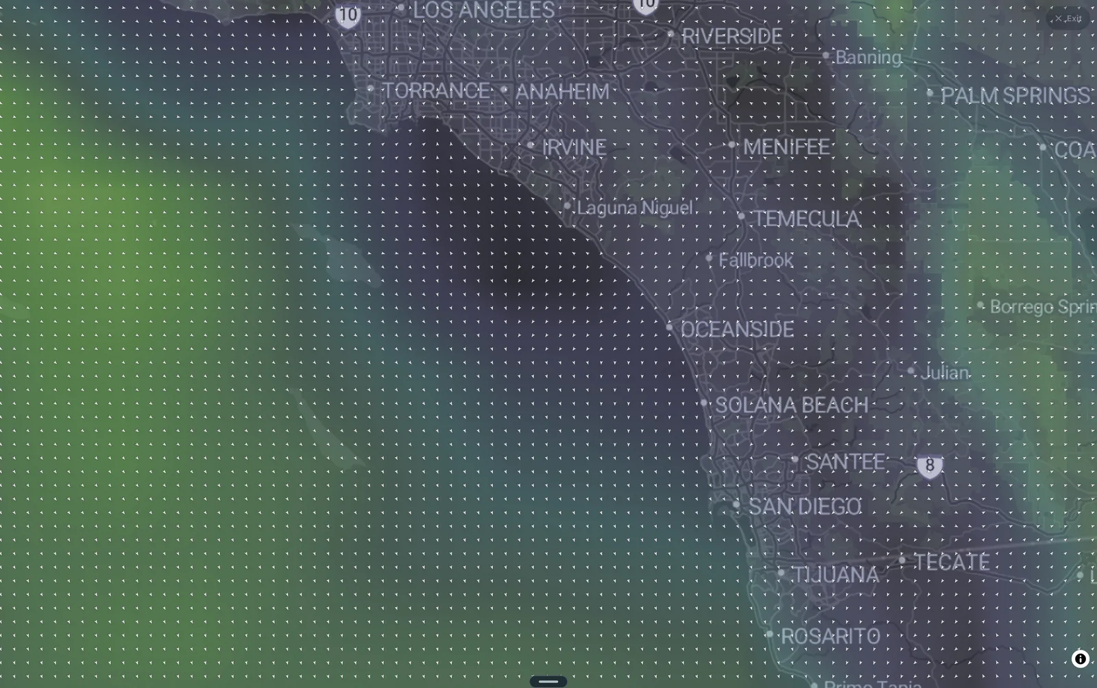
This is the cleanest window of the weekend and probably the best. Fifteen seconds is proper groundswell — every set will carry more push than the face height suggests, and you'll feel it on the paddle out. Light offshore-leaning wind means south-facing beach breaks will be clean but heavy: expect fast, thick lips and a fair number of closeouts on the open sandbars. Points and reefs that take south swell will have the shape. Dawn patrol gets the glassiest water and the smallest crowd; both of those change fast.
Target: Reefs and points with south exposure for anyone wanting length and shape. Exposed beach breaks for experienced surfers who want the power. If you're an intermediate, this is a morning to pick a corner with some protection rather than the biggest peak on the beach.
Saturday afternoon
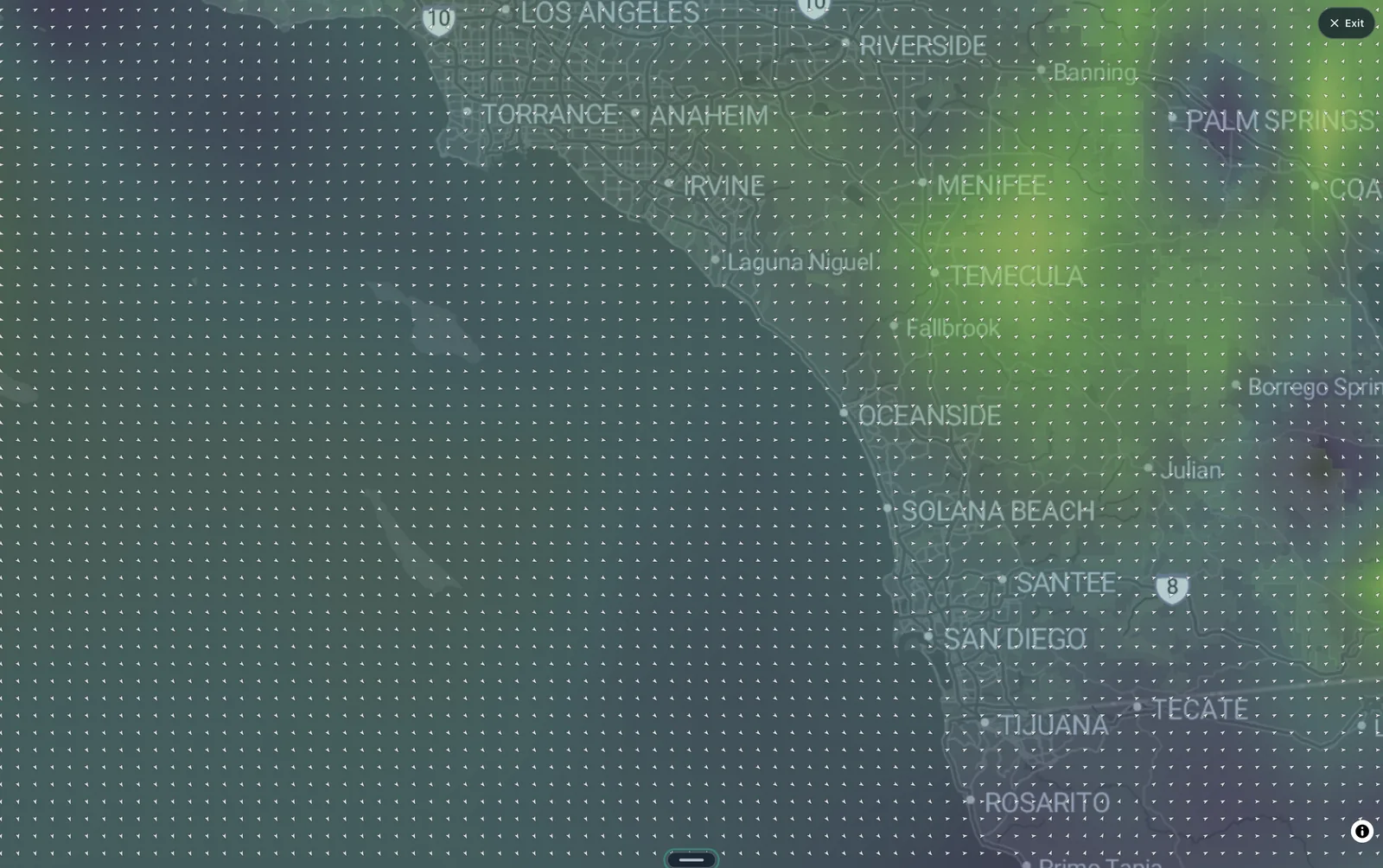
The swell fills in and the size ticks up while the wind stays light — a rare afternoon where the conditions hold. Period drops a second, so the sets will feel marginally less spread out and slightly less punchy than the morning, but 6.5 ft at 14 s is still a lot of water moving. Crowds will be at their peak. Beach breaks that were closing out in the morning will be closing out harder.
Target: Same as the morning. If you missed dawn, this is your second chance at clean surf; get in before the sea breeze has any chance of switching on.
Sunday morning
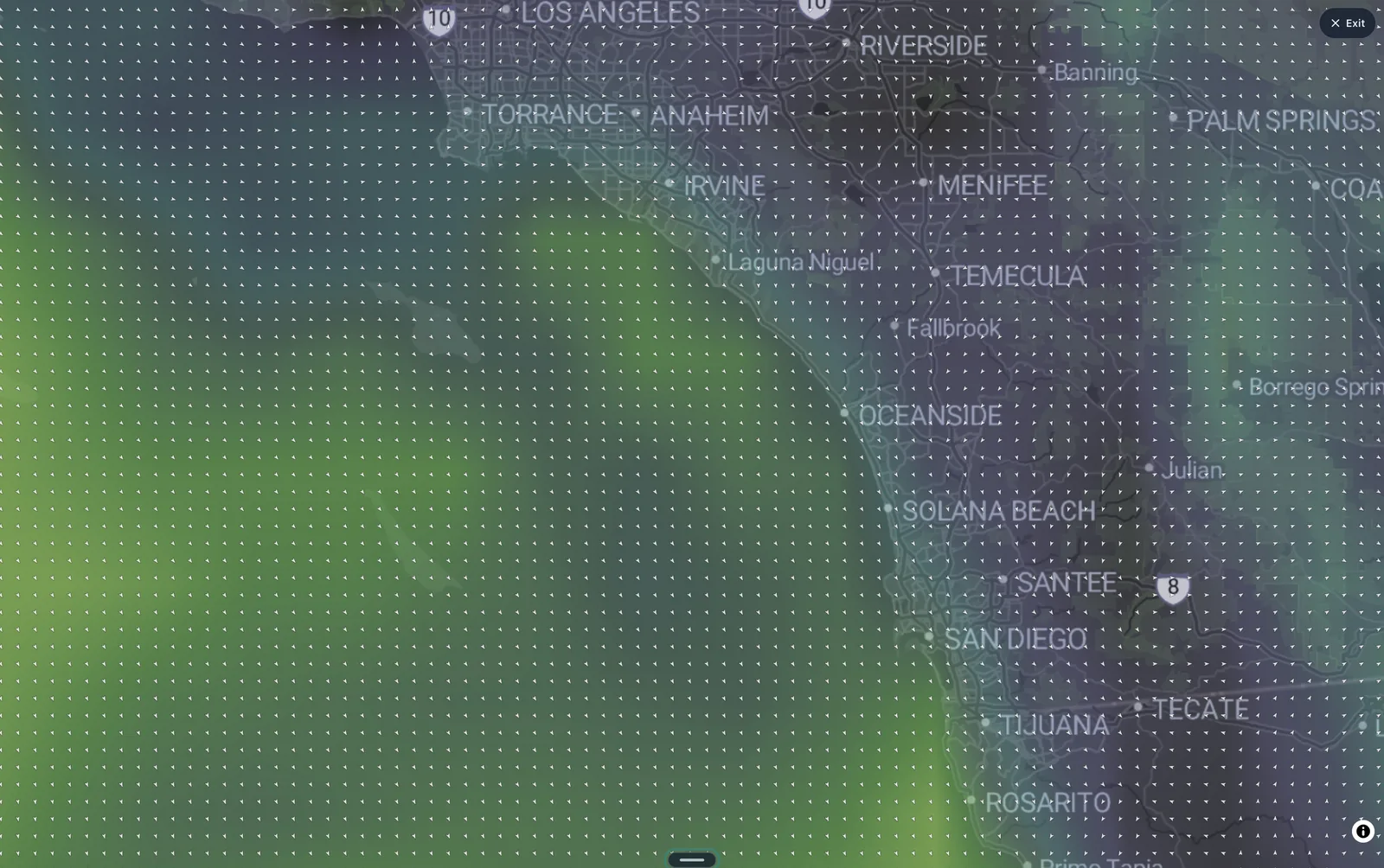
The swell is holding at its peak but the wind is starting to work against you. Moderate northwest wind on a south-facing beach is side-to-sideshore — not a full blowout, but enough texture to knock the perfect lines off the open beach breaks. Points and spots with a headland or jetty on the northwest side will be noticeably cleaner than anything wide open.
Target: Sheltered from the northwest. Look for setups where the land blocks the wind, and expect the open stretches to be rippled by mid-morning. Early is still better than late.
Sunday afternoon
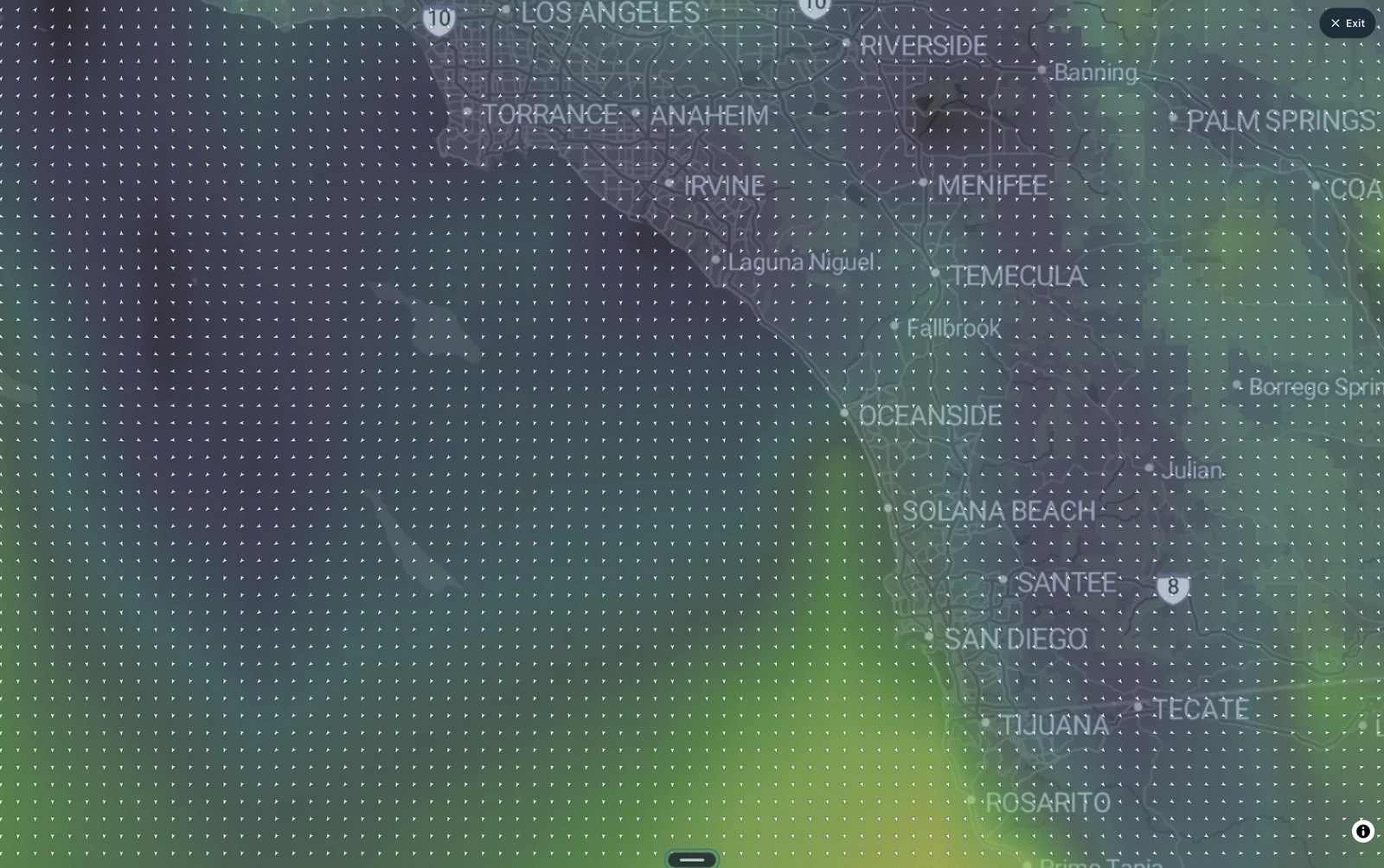
Size and period are unchanged, but the wind wins. Strong northwest wind on this coast means chop on the exposed beaches and a lot of wasted energy — big, unruly, and hard to line up. The handful of spots that are properly protected from the northwest will still be worth checking, but the open beaches are a watching-from-the-sand proposition for most surfers.
Target: Only the wind-protected corners. If you can't name a spot near you that hides from strong northwest wind, take Sunday afternoon off and look at Monday.
Looking ahead
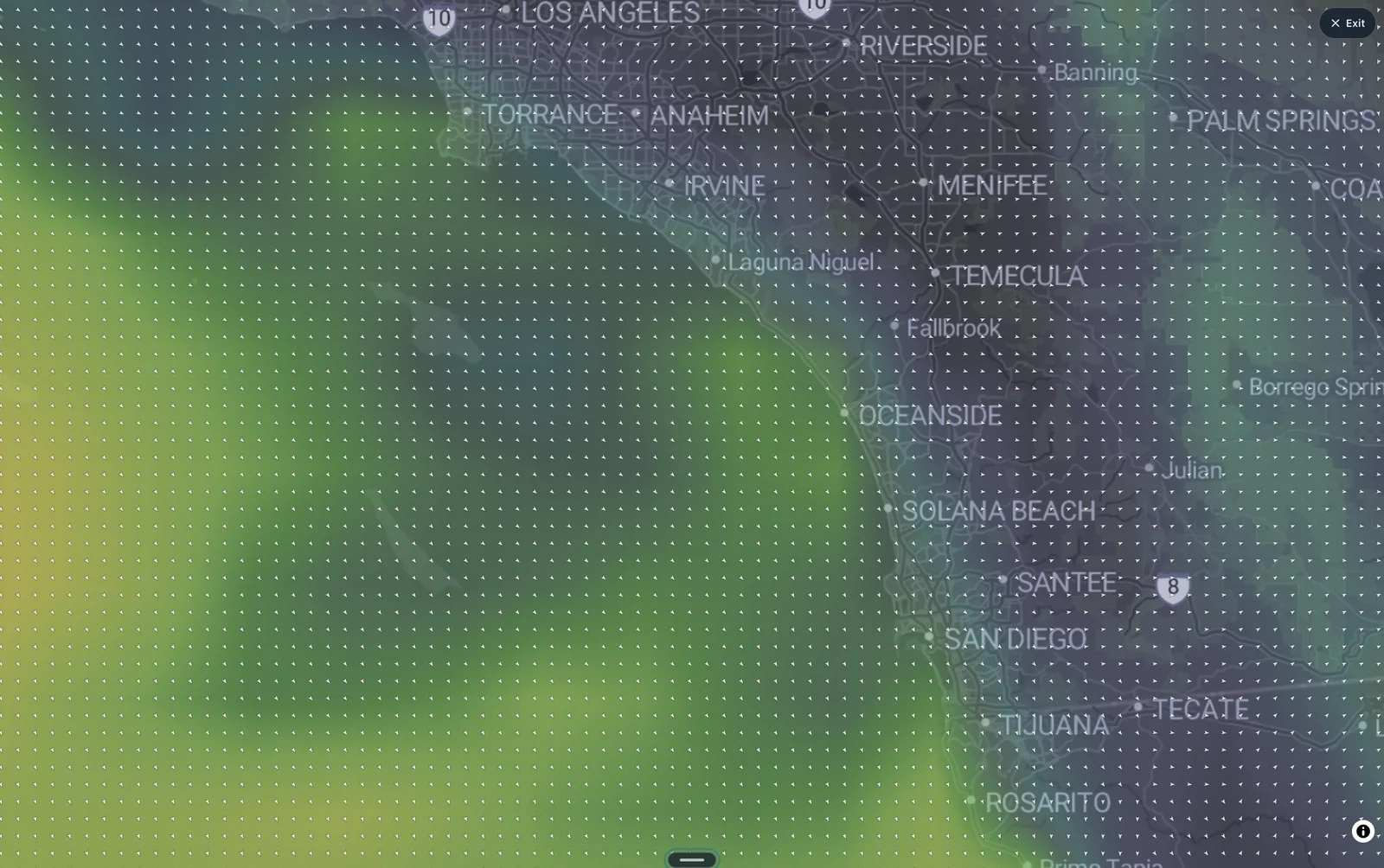
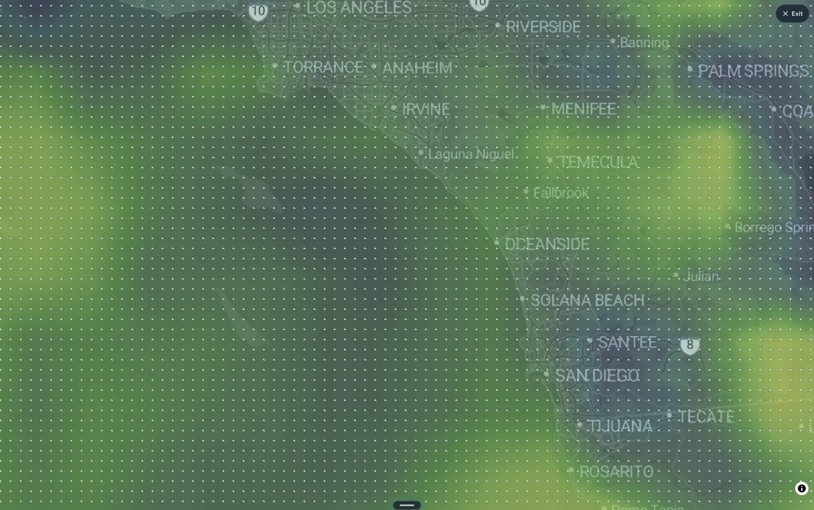
Fetch is holding the size into Monday morning — 6.5 ft at 13 s — but the wind stays strong out of the northwest. The swell isn't the problem early next week; the wind is. Watch for the wind to ease before you plan around Monday.
Marie will keep weakening as she moves into cooler water, and the swell will taper through the middle of the week. This weekend is the peak.
Track the swell hour by hour, spot by spot, in Fetch. Marie's energy is on the swell map now.